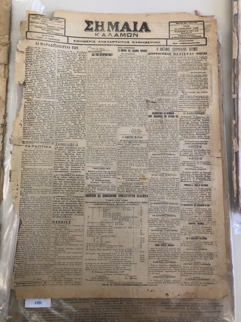
newspaper referring to an earthquake in 1926 from Southern Greece (Peloponnese region).
Earthquake hazard assessments help understand potential risks and impacts to inform decisions on reducing damage or loss of life. This includes analyzing historical data, such as written records, geological evidence, and instrumental records. This allows for a more complete understanding of future earthquake impacts and improves building codes to reduce damages. Two main forms of historical earthquake data are records from seismometers and non-instrumental observations of damage.
Instrumental records are commonly used to provide a variety of details about the earthquake event, including but not limited to, the depth of the earthquake, the fault which caused it, magnitude, ground shaking details, travel time curves for seismic waves, and duration and amplification of ground motions by local site conditions. Other observations are also important and can help complement existing records, intensity maps or help calibrate models.
The earthquake record of most regions is incomplete. To improve our knowledge of seismic hazards of a
region or country of interest, we need to expand our analyses beyond modern equipment usage
only. Modern seismographs are digital and cover mostly a time-window of observations of 50-60 years.
Pre-digital instrumental data comes from old operating seismometers, primarily during the
first half of the 20th century. Old earthquake records are analog and also cover a limited time-window.
Paper seismograms also require intensive efforts to disseminate through scanning and ensuring not to
damage them in the process. Methods and processes must be developed to incorporate these types of
data to improve the historical record. Obtaining older ground motion records on print from analog
seismometers and related documentation depends largely on the region (availability, access, and
quality).
Newly available data offers new opportunities for studying historical earthquakes in Greece that have not
been adequately analyzed. As such, several criteria were applied to data in European databases to sort
through their content and identify earthquakes for further analysis. In collaboration with one
undergraduate student, and colleagues from the National Observatory of Athens and the University of
Athens, observations of earthquake impact were collected in Greece in the summer of 2022. Part of this
work was presented at a conference organized by the Geological Society of Greece (you can find an
extended abstract in the Book of Abstracts, pages 442-443).
This work has become even more important in the shadow of the recent twin earthquakes in Turkey
which have -beyond many other things-revived the public’s interest in earthquakes and preparedness:
Could something similar happen here?
Are we prepared for ~M7 earthquakes?
The above questions lead to another question. Have we had similar magnitude earthquakes in the past?
One can answer this question by digging into the historical record.